This auction is live!
You need to be registered and approved to bid at this auction.
Watch the auction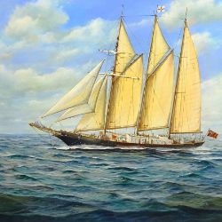
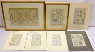
A selection of affordable artworks, ranging from traditional to modern: Watercolours, Oils, Pastels, Mixed media , Prints, Etchings & Sketches
|
Auction currency
|
GBP |
|
Accepted cards
|
Confirming your bid is a legally binding obligation to purchase and pay for the lot should your bid be successful.
Confirming your bid is a legally binding obligation to purchase and pay for the lot should your bid be successful.
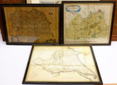
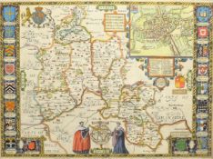
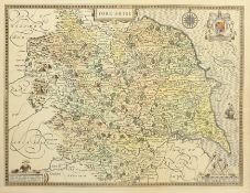
![John Speed (British 1552-1629): 'The North and East Ridins [sic] of Yorkshire', engraved map with la](https://portal-images.azureedge.net/auctions-2021/srda10412/images/303adf0c-f6d8-4482-b532-ac9100be346c.jpg?h=175)
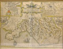
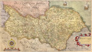
![After John Speed (British 1552-1629): 'The North and East Ridins [sic] of Yorkshire', engraved map p](https://portal-images.azureedge.net/auctions-2021/srda10412/images/24972c67-f5e3-4f15-a00f-ac9100bf5f01.jpg?h=175)
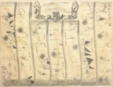
![After John Ogilby (British 1600-1676): 'The Road from London to Flambourough [sic] Head in County Eb](https://portal-images.azureedge.net/auctions-2021/srda10412/images/1f10e1ca-da06-4601-a0e4-ac9100be5059.jpg?h=175)